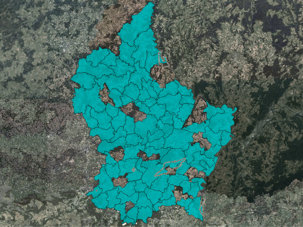
The Geoportal
The National Geoportal of the Grand Duchy of Luxembourg offers a new map counter. It is available to the public and provides the following advantages over the previous system:
- a display over the entire screen area, where the dimension of the map can be specified by the user
- increased speed when loading and displaying, due to new technology
- a content organisation by topic rather than data and data series
- the structuring of the content corresponds to the European directive INSPIRE
- an intuitive handling with tools similar to Google
- the management of the transparency of the data layers displayed
- background layers that are combined with orthophotos and topographic maps with adjustable visibility of layers
- a quick search of communes, localities, addresses and plot numbers in a single search field
For further information, visit www.geoportail.lu.


