


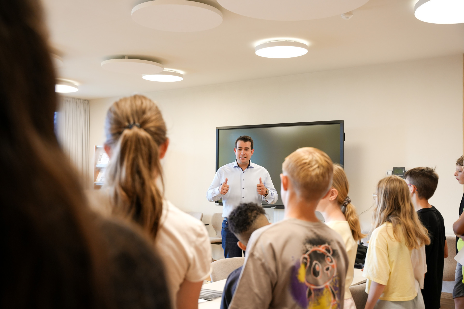
On Wednesday, the 20th of September 2023, the Board of Aldermen visited the school children from Cycle 4.2 from the school "Am Sand" to hand them out - as the first children in the commune - a children's map.
It was the children’s idea to have a children's map made for their commune containing their favourite places. The members of the citizen's team "Niedz4Kidz" took up this idea and contacted the graphic design agency HUMAN MADE to launch this great project.


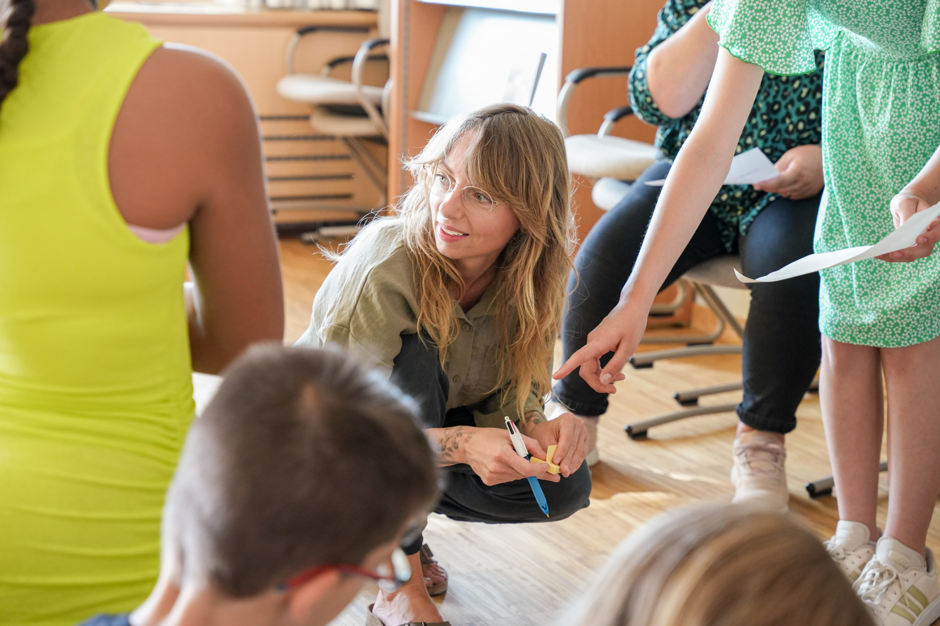
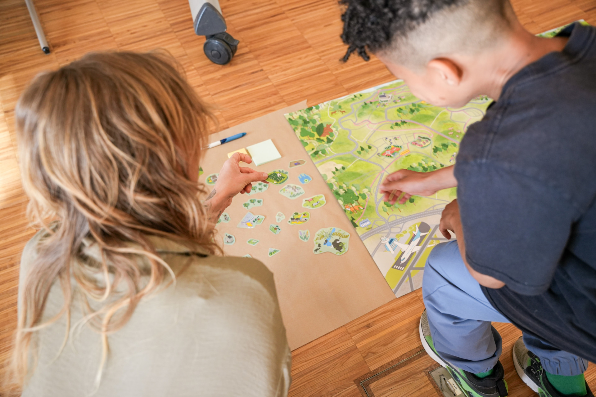
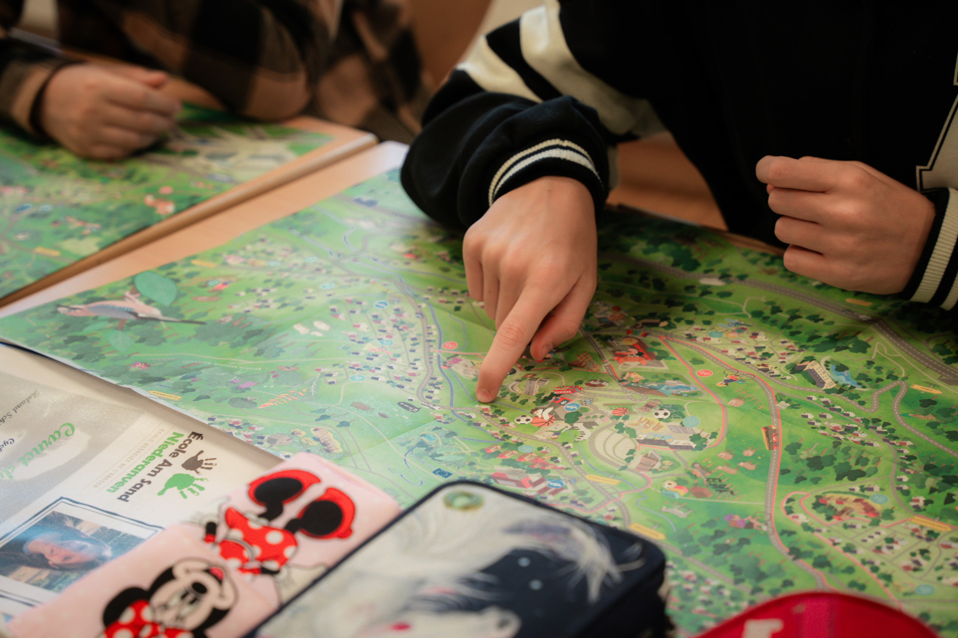
The children were also involved in the realisation of the map. It is a map by the children for the children from the commune of Niederanven. In July we organised a workshop with the school children from Cycle 4.1 (school year 2022/2023) of the school "Am Sand", during which the children were able to give their input to the agency on how to improve the map. They told us what their favourite places were and what was missing on the map. The suggestions were taken on board and the map was finalised.
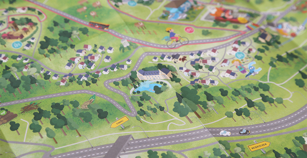
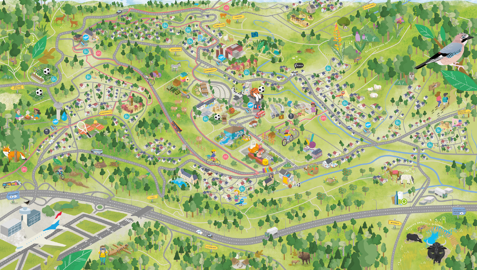
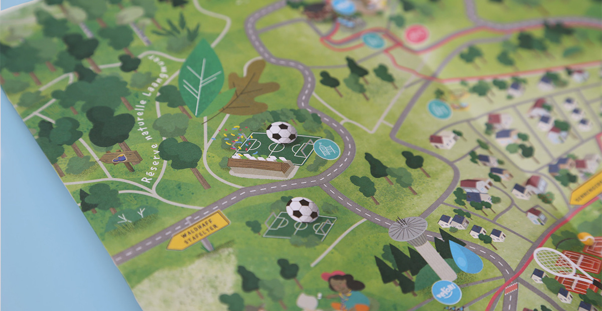
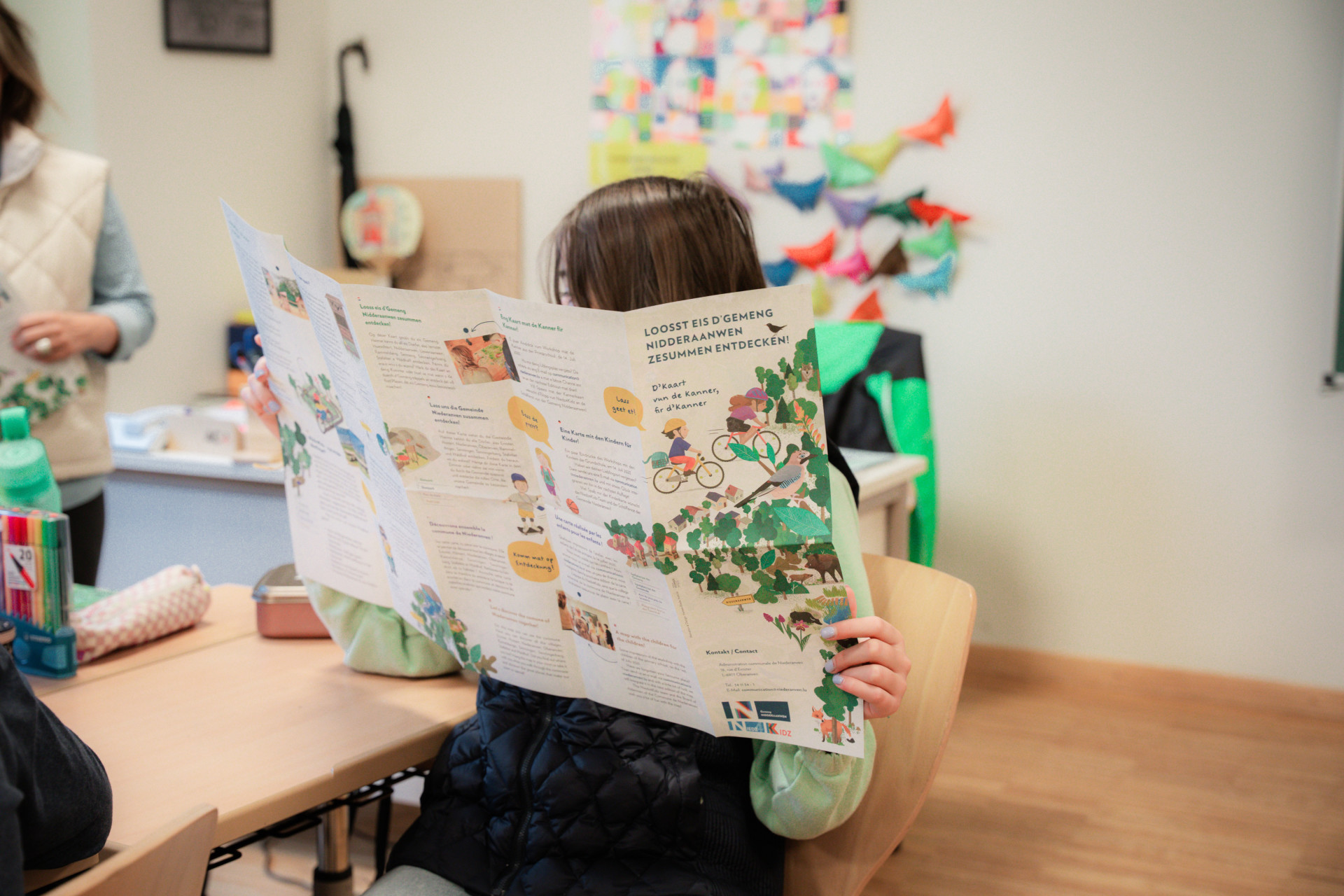
The children's map is not to scale, but the "Am Sand" complex, with the school, the Maison Relais, the swimming pool, the CIPA Gréngewald, etc. stands out because of its size. It forms the centre of the map. Around it extends the rest of the commune with the localities of Niederanven, Oberanven, Senningerberg, Senningen, Ernster, Hostert, Ramelange, Waldhaff and Stafelter. The map is self-explanatory and therefore has little text and no legend. So even the youngest children understand what is shown on the map.
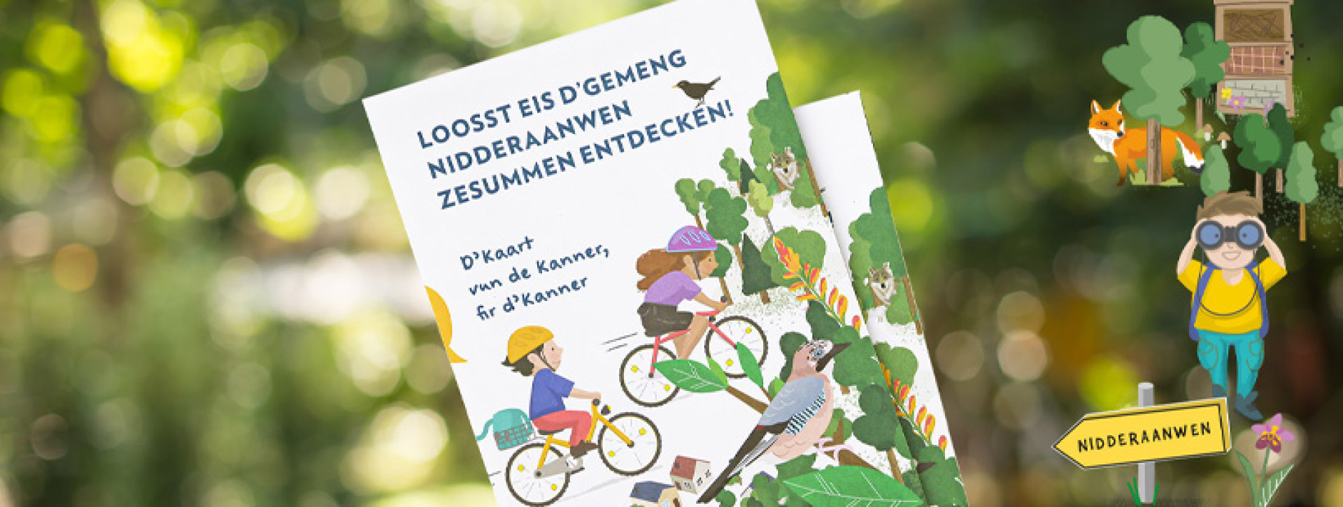
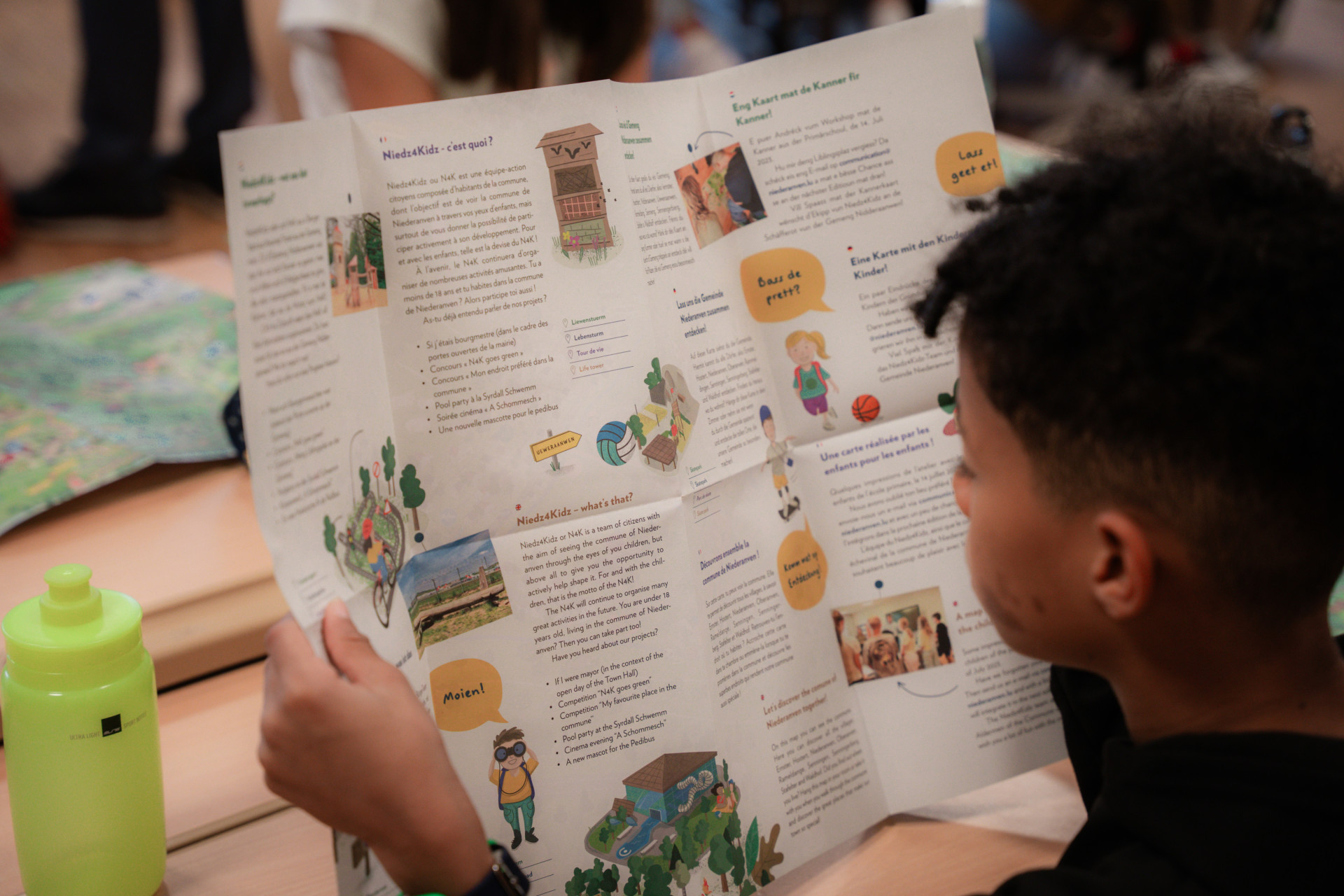
It was important to those involved in the project to create a children's map that is suitable for all ages and and with an appealing design for adults. The back of the map contains a text in four languages explaining the initiative of the children's map and introducing Niedz4Kidz.


The first edition was printed with 2,500 copies. In addition to Cycle 4.2, the other children from the school "Am Sand" also received a copy. In addition, the maps are distributed in the Maison Relais and in the Youth Centre. As new families register in the commune, they also receive a map. The map is also displayed on an aluminium DIBOND plate in the school, in the Maison Relais, in the Centre de Loisirs "Loisi" and in the skate park.
Even though the children's map was printed on paper, it is by no means static. As a commune, it was important to us that the map be a living document. In addition to the elements of the map that the agency makes available to us, including for social media and the Commune's website, residents of the commune also have the opportunity to send in their ideas and suggestions by e-mail so that the map can be updated regularly.
Order you map or send us your ideas and suggestions via communication@niederanven.lu!


